CL Deposition and Data
Access the relevant website and a step-by-step guide for using the website.
National Critical Loads Database (NCLD)
Lichens & Air Quality Database (USFS)
NADP TDep (Total Deposition) Maps
CMAQ
CASTNET
(This website cannot be embedded)
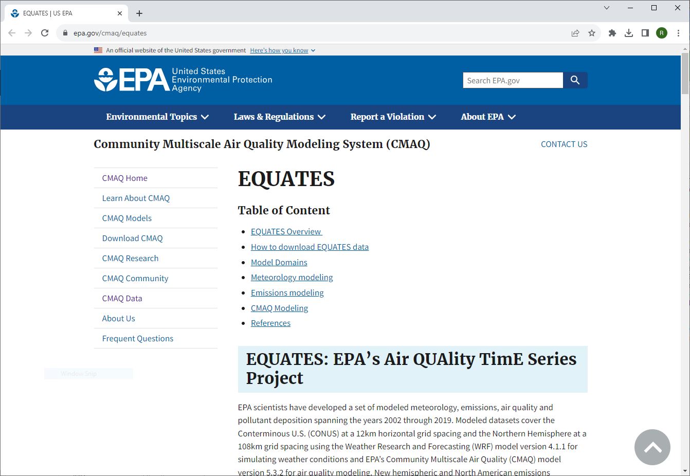
EQUATES (EPA’s Air QUAlity TimE Series Project) is a time-series of air quality modeling using the Community Multiscale Air Quality Modeling System (CMAQ) developed by EPA. EPA scientists have developed a set of modeled meteorology, emissions, air quality and pollutant deposition spanning the years 2002 through 2019. Modeled datasets cover the Conterminous U.S. (CONUS) at a 12km horizontal grid spacing and the Northern Hemisphere at a 108km grid spacing using the Weather Research and Forecasting (WRF) model version 4.1.1 for simulating weather conditions and EPA’s Community Multiscale Air Quality (CMAQ) model version 5.3.2 for air quality modeling. New hemispheric and North American emissions inventories were developed using, to the extent possible, consistent input data and methods across all years, including emissions from motor vehicles, fires, and oil and gas sources.
Step-by-step instructions
- Click on “How to Download EQUATES Data”.
- Click on the link labeled “To learn more on how to access EQUATES data please fill out our Data Interest Form”.
- Fill in your affiliation data or leave the form blank and click submit.
- Scroll down to ‘Model Output Datasets’ and click the link for the ‘CMAQ annual total deposition for 22 chemical species.’ (https://drive.google.com/drive/folders/1RoTEmOFkGqff3wk3rrprwaYZT3AxkCzo).
- The data for the 22 species is contained within a zip file organized by year. Make sure to download the V1.1 version, e.g. EQUATES_CMAQv532_12US1_annual_deposition_V1.1_2002.tar.gz.
- Unzip the folder and load it into your GIS.